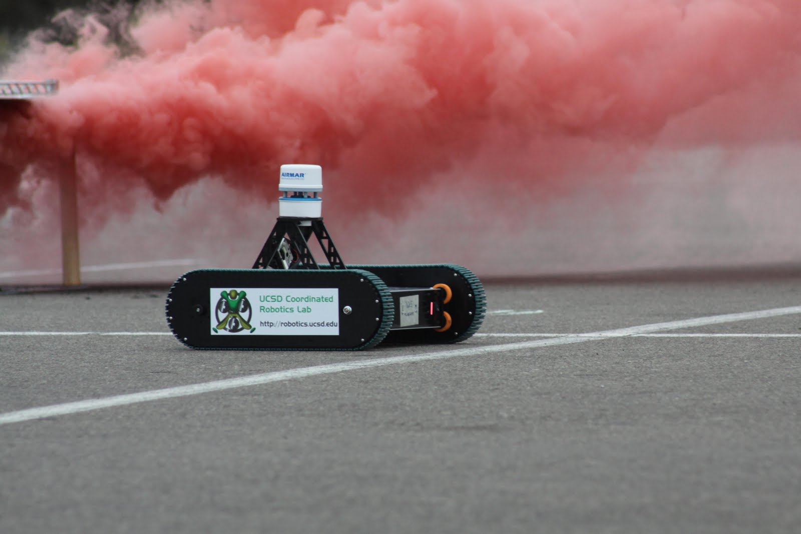
An army of advanced "
Switchblade" robots designed and created by the
UC San Diego Coordinated Robotics Lab will infiltrate the
P705 parking lot at UCSD on Friday July 30 as they roll through clouds of (inert, non-toxic) colored smoke set off by their advisor. Equipped with high-tech sensor packs and electronics, the robots will measure smoke concentrations and wind velocities as they move.
The measurements will be transmitted in real time (via a high-speed cell-phone connection) to an off-site supercomputer running advanced weather-forecasting type algorithms developed by the
UCSD Flow Control Lab, which will synchronize a numerical simulation of the smoke plume with the actual measurements taken in the field in real time (a problem known as data assimilation), and then tell the vehicles where to move next.
The goal is to forecast where the smoke is going to go, as precisely as possible, before it gets there. A series of 3-4 such tests will be performed during the 7 to 9 AM window. A camera performing time-lapse photography, hanging from a large balloon overhead, will record how well the system performs. The project is sponsored by National instruments and the U.S. Department of Energy.
The research has important social relevance related to new technology and algorithms for tracking a wide variety of environmental plumes of interest, from Gulf-coast oil, to Icelandic volcanic ash, to possible chemical/radioactive/biological plumes in homeland security settings.